Thursday, March 27, 2025

Significant winter Storm Coming To Southern Manitoba


Hey everyone , back for a blog update and I unfortunately have some upsetting news. Southern Manitoba and we’ll basically all of our forecast region is basically under the gun for significant snowfall all thanks to a low pressure system moving into our region. The interesting part about this system is that it will have a sharp deformation zone (cut off line for heavy snowfall.) This system will mark the transition into a much cooler temperature trend but not before we get a decent winter storm . Find out more in this weeks weather update from Mike McGregor. 


Today (Above): Southern Manitoba get ready to rock and snow dance??? Anyways my horrible take on words again. As I  write this at 130PM the west part of southern Manitoba is now in the crosshairs of the low pressure system. This band of snow that has already moved into areas just north of highway 1 up to the parklands will gradually move east and southeast. There is some concern that this initial band may be strong enough to cause whiteout conditions and poor visibility for those travelling on the highways. Blizzard conditions are basically expected across an area from the Manitoba border to the interlakes, portage la prairie, east to Winnipeg and Grand beach areas. Highway1 and south may be impacted slightly by this storm but not until later in the day. Total snowfall accumulations by this evening will vary from between 5cm in Winnipeg to as much as 10-12cm just west of Brandon in a narrow swath. Temperatures this afternoon will sit in the low minus single digits for most, with areas along the American border sitting in the low single digits. 


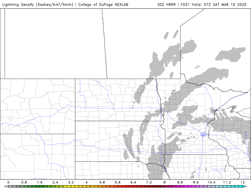
Tonight: Oh boy this is when the weather will really get interesting, mother nature will likely be throwing a rave (in simple terms that means significant snowfall will be impacting a large zone of our forecast area.) I don’t really like saying the S word but regardless we have to talk about it. By about 5pm the heaviest snowfall will be covering areas from just along and north of highway 1. By about 8pm the heaviest of snowfall rates will be impacting areas along a swath from the Manitoba border east to Winnipeg and Grand Beach north to central Manitoba. Much of the south will be impacted by blowing snow and poor visibility tonight. If you are travelling consider taking it easy. Areas of the south among the American border up to about Highway two can expect to be at risk for freezing rain with ice pellets for a majority of the night. Part of the reason is this region will be in the warm sector of the low pressure system or near the warm front Generally areas from just south of Virden East to Glenboro than south towards pilot mound east to Winkler, and then Steinbach. Total snowfall accumulation for G the overnight timeframe are expected to be between 12 to 15cm for Brandon east to Winnipeg there could be snowfall amounts more than 15cm in localities overnight. Temperatures tonight will sit quite mild with overnight lows in the mid minus single digits. 

Friday (Above): Heavy snow will persist in the morning hours on Friday. There will be a weakening trend towards the latter half of the morning and early afternoon. There will still be periods of snow over the region, but expect much less accumulations on Friday then on Thursday night. There will still be areas with heavy bands of snow but only about 10-12cm is possible around Brandon accumulated in 12 hrs by 18Z, the rest of the day between 2 to 3cm is likely. Temperatures will be mild mainly in the mid minus single digits. -1 to -5C. For a broad swath of the south. 


Friday Night: A brief, but heavy burst of snowfall can be expected during the overnight timeframe as the remainder of the system moves through this band whoever will just be a brief but heavy cluster of snow, which will likely put our total accumulations up a little bit more significant snowfall, however, will not be likely for our region during Friday and Friday night. Another 1-5 cm is possible for a broad area of the south. I will have a summary of total snowfall just in this paragraph below. Temperatures on Friday night will be in the minus teens in Southwest Manitoba anywhere between -10 and -12° with windchill corresponding colder towards the -20°C range. Areas in the south east however will be spared this cold with temperatures and the minus upper single digits, with windchill values in the minus teens. 

Areas across the Manitoba see anywhere between 5 to 45 cm of snow. The highest accumulations are forecast once again in the riding mountain national Park area. Then as you go south and east and slightly north for areas just to the east Brandon to Winnipeg upwards of 20 to 30 cm of snow. Then south of this band as well up to Central Manitoba 5 to 15 cm of snow as possible. 

In regards to ice accumulations: Expect anywhere between one to 3 mm of ice buildup. There will also be a mixture of snow within the freezing rain along the American border. Power outages are possible especially within all areas of this winter storm event. 


Saturday and Sunday/Long Range: Much, weather conditions will be present over the weekend with temperatures a little bit cooler. The good news is that our overnight. Low temperatures will not drop into the minus teens, however windchill values may be in the minus teens for this weekend with overnight lows in the upper minus single digits. Our daytime highs in the lower minus single digits as the sun gets higher in the horizon. Snow will begin melting hopefully. 

The good news is this during the latter half of the week warmer Pacific air will begin filtering in across the Prairie provinces, it may take a couple of days for us to get there, but we will begin seeing high temperatures in the upper single digits between 3 to 6°C I strongly believe as the sun begins getting higher in the horizon. We will be start starting to see temperatures closer to 10° at some point as our normal value temperatures go up.


Thursday, March 13, 2025

Major Colorado Low Set To Impact Southern Manitoba

 Get ready southern Manitoba another round of significant winter weather is on the way and this is one of those storm systems that we've been keeping in our eye on for the last couple of days. This Colorado low low pressure system is likely going to be impacting our region within the next 24 to 48 hours various weather impacts will be included including freezing rain, snow, blowing snow as well as a slight risk of thunderstorms in extreme southeastern Manitoba. We will have full information in this weather blog updates, the important thing to keep in mind is that the low pressure system could change location within the next while which may change precipitation impacts. 


The rest of the night in southern Manitoba will be generally cloudy with some. Of clearing this will be very sparse though unfortunately if you're looking for a clearing spot for the upcoming lunar eclipse tonight is definitely not gonna be that fortunate for Eclipse viewing. Tonight's temperatures will remain well within our seasonal range of the minus one to minus seven degrees Celsius range.


Tomorrow (Friday) the Colorado pressure system will begin to move into southern Manitoba ahead of it very warm mild air for this time of year will filter into the southeastern parts of the province temperatures during the afternoon will rise into the lower single digits with areas of southwestern Manitoba just only being able to nudge up to the zero to minus 1 or - 2 degree mark. So the weather pattern does look like there will be a possibility of some increasing chances for showers in southeastern Manitoba during the afternoon because there will be maker or very low levels of instability there is a very slight chance that some of these showers could produce some thunder. My concern goes towards the latter half of the day when lights to moderate snowfall will begin in southwestern Manitoba as we move a little bit further to the east. The low pressure system will be bringing in freezing rain mixed with ice pellets more than likely this will be in the form of freezing rain given the fact that this region will be in the transition part between above zero temperatures and below zero temperatures. I haven't been able to look at the temperature profile in the upper levels however models have been consistent at bringing in moderate freezing rain over the Red River valley during the late afternoon into the evening. Yesterday the NA MNES T model was suggesting upwards of 12 to thirty millimeters of freezing rain, Most of the weather models have been struggling to capture the moisture content of this low pressure system. The more recent run of the models is suggesting that the region of Winnipeg including Elie East to the Ontario border could be dealing with heavy snow mixed with freezing rain by the evening. Environment Canada has forecast rain in Winnipeg with a high of plus 3C. Southwestern Manitoba is at a higher potential risk for the development of snow and blowing snow highway travel will be difficult during the daytime and I will have a snowfall forecast map below these summaries, despite not much in the way of snowfall accumulations. 


Friday Night: During the mid to late evening hours areas of southeastern Manitoba will begin to start seeing snow mixed with freezing rain then transition over to heavy snowfall before tapering off towards the early morning hours the good thing about that slow pressure system is that it will be fast moving. Regardless when the temperatures drop below zero during the latter half of the evening lot of this rain will begin to freeze on contact if it hasn't already with either rain or freezing rain both will freeze with temperatures going down below zero. My main concern is a possible increased risk of power outages as well as traffic accidents and given the fact that road conditions will be quite poor during this time frame any highway travel is not suggested and Justin has also mentioned that with the snow coming in conditions will become difficult to drive in. 


Models are also showing the potential for thunderstorms mixed in with the freezing rain  in southern Manitoba tomorrow night as the freezing rain moves into the region before the snow begins after midnight. 


Temperatures on Friday night will likely drop while into the minus single digits some areas of southwestern Manitoba may see value is more typical of February with anywhere between minus ten to minus fifteen degrees Celsius. Wind chill also has to be factored in as well with these temperatures as winds will become out of the northwest.

Information on total precipitation amounts;

Red River Valley and southeastern Manitoba Freezing rain threat: Total amount anywhere between 5 to 10 millimeters with as low as one to two millimeters of ice accumulation. Snowfall will become heavy overnight into the morning with another 10 to 20cm of snow possible in a narrow band as the system moves east.

Southwesterm Manitoba: Despite there being snow and blowing snow accumulations will be well below any reasonable amounts only 2-3 centimeter accumulation is possible in some areas.

Information for the Weekends Weather: Saturday and Sunday look to be a lot calmer, high pressure will begin moving in from the West bringing in a much more stable air mass however temperatures will be cooler than they have been the good news is that this air is modified which is going to basically make things a bit better for us. Daytime high temperatures on the Saturday will be in the minus single digits between minus 1 to minus 8 degrees Celsius overnight into Sunday temperatures in the low it to mid minus teens are possible with the coldest air in Western Manitoba in higher elevations by the Duck Mountains and Asseippi Provincial Forest. Southern Manitoba will then have temperatures below normal on Sunday night with overnight low values in the minus teens and upper minus single digits. 


Featured Post

Slight Risk of Severe Weather Arrives

 Southern Manitoba will be seeing a return to possible thunderstorms in the southeast part of Manitoba during the day Sunday. It has been a ...