Much of southern Manitoba and our province has had a fairly cool and slightly warm April, that is about to change however. Today I have unfortunate news and I know a lot of you have been following me for a long time, this feels like one of those days that I wish I didn’t have to write a weather update. Unfortunately we all have to deal with what’s ahead, a Colorado low will be moving into our region and with it some extensive impactful weather is expected (this storm and event will be something we all haven’t seen in 3 decades). Find out when, where and what we can expect from this event below.

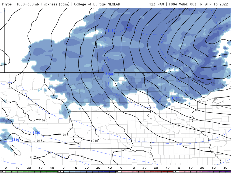
Tuesday afternoon the low pressure system will begin to approach from the south, this system will be extremely potent as it taps into the warm air from the south and the cold air just to the north. (Above). As the system moves in on Tuesday morning temperatures will be in the mid to high minus single digits (-4C to -10C). During the late morning a swath of snow will develop over the northern end of North Dakota and it will drift north into Manitoba bringing with it heavy snowfall and blowing snow. Heavy snowfall rates are expected in the afternoon in the southwest with rain and snow mixing in the southeast. By the afternoon this area of snow will move north into southern sections of Manitoba with most of the snow melting on contact, accumulating snow will probably begin by the late afternoon with amounts of 5-10cm north of the American border to highway number 1 and points north. A few areas may see amounts of 15cm especially along the American border. Temperatures will rise into the low minus single digits in the afternoon with areas in the southwest and parklands seeing high temperatures from (-1C to -4C). The southeast will likely end up being in the warm sector, bringing those warmer temperatures with highs between 0 and 3C.

Tuesday Night (Above): This is when the storm will have significant impacts, heavy snow and blowing snow will impact a large portion of southern Manitoba. A swath of snow will set up along the entire southern half of the region. Blizzard conditions will be in place as winds could gust as high as 50 to 60km/h out of the northwest. Model data at the moment is showing that by the early morning hours on Wednesday, accumulations could be as much as 10 to 20cm in the northern sections by the interlakes and near and along the American border. The snow will continue to be heavy throughout the overnight into morning hours. Temperatures on Tuesday night will drop into the low minus single digits in all areas (-2 to -5C).

Wednesday (Above): By the afternoon significant snowfall will continue in the areas of southwestern Manitoba, and the parklands with the main batch of snow in the south central and southeastern Manitoba moving north into the interlakes region, where they will get more snowfall by the afternoon hours. You can thank this low retrograding as a result , which means it’s going west instead of east. A general 20 to 30cm of snowfall is likely for areas of the interlakes and parklands regions as well. Areas further south will be bearing the brunt of this system with a likelihood of upwards of seeing another 20-30cm especially along the American border or higher elevations. This storm will not be to mess with, as snowfall rates may be as high as 3-6cm an hour. My snowfall totals are an estimate based on model data, and is subject to change. Snow and blowing snow will be an ongoing problem. Temperatures will rise into the low single digits (1 to 3C) in the southeastern portion of Manitoba, under partly cloudy skies. Areas in the southwest will likely see highs in the low minus single digits (-2 to -5C).
Wednesday Night: This system will continue with a majority of the heavy snowfall moving northwards into the central and northern regions of Manitoba. Meanwhile the snow will wrap back around into southeastern sections of Manitoba. With Another 5-10cm of snow possible in areas of the southwest part of Manitoba. Snow and blowing snow will continue to be an issue, with near zero visibility at times. Another 3-5cm can be expected in the southeast part of Manitoba. Temperatures on Wednesday night can be expected to drop into the low to high minus single digits and low minus teens (-2C to -11C). It will be colder as you move west into the parklands regions.


As this happens I’ll be taking a break from blogging until a shift to warmer weather happens. I’m not going to bother blogging about cooler than average weather, as it’s bizzare we have to deal with it this time of year.


Thank you for your detailed forecast....We need to hunker down and ride this out!
ReplyDeleteWhat a lot of time and work put into this weather blog that you have posted. Can't thank you enough.
ReplyDeleteThank you for the update.
ReplyDelete