
Tonight a severe weather event will evolve as a trough of low pressure system comes up from Montana and interacts with a hot and humid airmass that will spawn conditions for severe thunderstorms. Let's have a look at ingredients, I used less equations this time considering I already knew we were going to have scattered severe storms and high convective potential.
Moisture: Dewpoints no lack of it at least 15 to 20C for much of southern Manitoba which will give way to PWATS of 35 to 40mm. Making way for heavy rainfall in storms as much as 70mm may be possible.
Instability: High levels of Instability in Place with a wide swath of 2,000 to 4,000J/Kg moving across the south overnight. Hail could result from these extreme instability numbers, and it could be as large as toonies to golf balls. SWEAT Index's will also be inbetween 400 and 600 with 668 for Brandon and 524 for Winnipeg. Which means supercells are possible with Tornadic Potential. A BRN index of about 10 to 25 across the south which means supercell potential.
Shear: With storm relative inflow being in the 200 to 500m2s2, there will be a decent amount of shear to work with that could result in damaging wind gusts up to 70km/h or more.
Trigger: The trigger for the severe storms is a warm front that is situated in the red river valley and a cold front that will move through in the late overnight hours.
 |
| Severe weather will be possible overnight in Brandon, tornado, hail potential. |
 |
| Severe hail possible in Winnipeg overnight. |


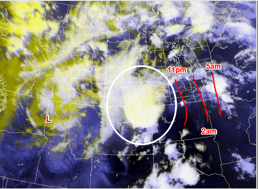
Scattered thunderstorms are expected in the red river valley and southeastern Manitoba this evening before the main event arrives to end the evening, some may be severe as well. Overall this thnderstorm complex that is out Southeastern Saskatchewan is expected to slowly move into southwestern Manitoba during the evening and overnight hours, eventually pushing into the Red River Valley after midnight. There will be the potential for embedded supercells with funnel clouds and weak tornadoes possible in early stages. As it treks east potential for some or most of the thunderstorms to be severe with damaging wind gusts in excess of 70km/h, severe hail as big as toonies to golfballs, frequent lightning due to the higher CAPE Values and flooding rains depending on how fast the line moves. Watches and warnings may be issued so please stay tuned to weather.gc.ca for updates. The severe weather threat will ease by morning hours. Overnight lows will stay in the high teens under stormy conditions.
Saturday More Mugginess???

Considering the frontal system is not expected to pass through until about 7pm tomorrow high amounts of moisture, shear and instability running from 1,000 to 3,000J/Kg of CAPE will result in another potential round of severe weather this time for the Red River Valley and southeastern Manitoba, as dewpoints approach 20 degrees with daytime high's getting to about 23 to 25 degrees. Likelihood for large hail, damaging winds and heavy rainfall.The front should pass by at around 7pm with storms likely. Drier air should start working into the area by about 8pm from the southwest part of the province which will be situated there the whole day.
Cooler weather in the low 20's is expected through sunday and into the week before hotter weather arrives mid to late week. Enjoy the storms!


No comments:
Post a Comment
Thank's for commenting on the blog, I appreciate it...