Get ready folks, southern sections of Manitoba will be experiencing a switch over to hot and dry weather over the coming days, a persistent ridge over the canadian prairies and a trough on the east coast and off the west coast of california will allow for heat to move in and stay for the course of the next several days. This pattern is stubborn as the upper level winds dont want to change much. As well due to a lack of persistent winds from the gulf of mexico there wont be much in the way of humidity, this makes for a complicated forecast as systems are set to move over that ridge bringing multiple rounds of showers and thunderstorms, but some areas may not see this happen at all. This blog will look at this upcoming pattern.

Wednesday Night: Today much of our region including areas of central Manitoba are dealing with hazy conditions from wildfires in Alberta, the good news is that a large portion of Alberta is no longer being influenced by significant fires there still is some burning but not to the extent where it was last week. Today expect scattered showers over southern sections of Manitoba with, a small cahnce at thundershowers. Temperatures today will go from being in the mid to high teens, into the low teens and high single digits tonight.

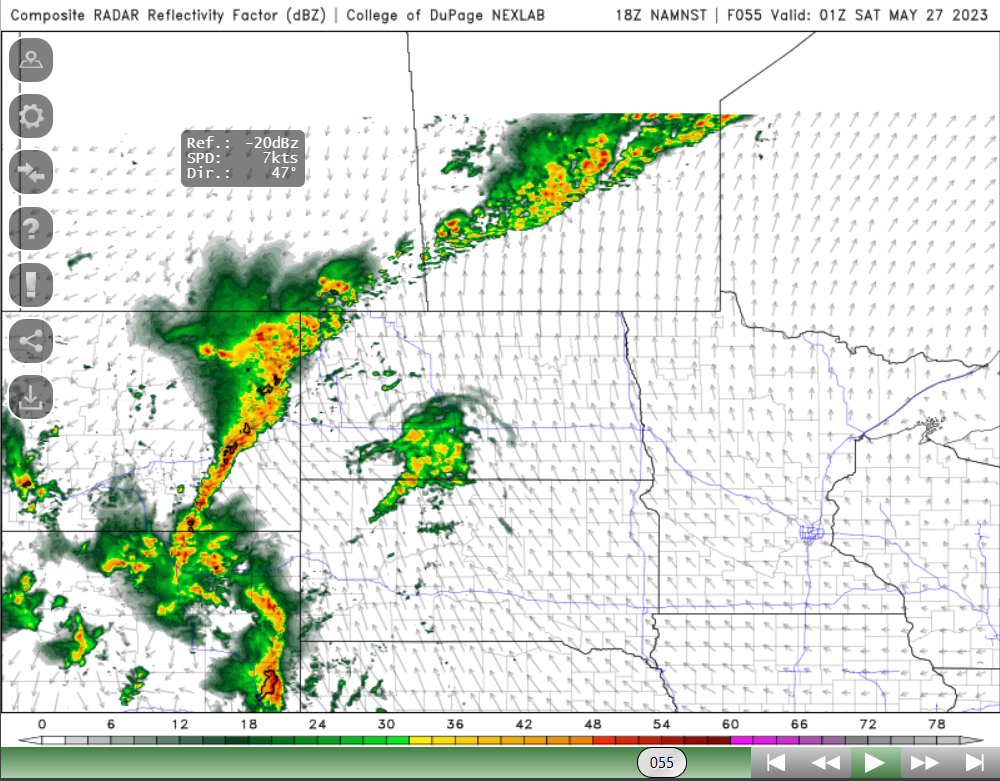
Thursday: On Thursday the humidity will increase likely, dewpoints will go from being in the high single digits to the low teens. A frontal system will stall out in western Manitoba, with that frontal system a warm front will be draped over southwestern Manitoba that will occlude and then with the cold front over western Manitoba during the afternoon and evening in Swan River and the parklands regions. Ahead of it CAPE of 1,000 to 2,500 and SRH values between 100 and 250 present posing a risk of severe thunderstorms and weak supercell thunderstorms. As there will be a ridge in place as this storms form, instead of a gradual east movement, expect these storms to move northeast and weaken as they do. There will be inital risk of supercell thunderstorms scattered in nature before storms congeal into a line by mid evening. Severe weather threat areas appear to be from Dauphin north to Swan River, eastwards and northeastwards with large hail and damaging winds as the primary threats. General amounts of 5-15mm are likely. Temperatures will take a soaring on Thursday with places seeing high values soar into the high 20's and low 30's, the highest values will be in southwest Manitoba, and the parklands.
Thursday Night: Expect showers and thunderstorms to continue in the parklands and northern interlakes regions. Showers will be likely for the remainder of the night as they weaken. Overnight lows will be mild with most areas likely seeing lows as warm as the high teens and low 20's in the west and areas further west in the mid teens.
Friday: The same weather setup presents itself with more humidity and moist air coming up from the western USA and Gulf of Mexico, dewpoint temperatures will return in our region into the mid teens, to high teens in western Manitoba. A frontal system will sit over western Manitoba. Another round of severe weather will present itself this time from the parklands into the interlakes regions of Manitoba, and areas mainly along a line northeast from Dauphin south to Minnedosa, east to Eriksdale and north through Ashern and Arborg into the north side of the south basin of lake Winnipeg. The CAPE values are forecast to be in the range of 1,000 to 2,500J/KG, SRH between 200-300 may support some supercell development initially in the areas of Dauphin and in the parklands followed by a weakening trend with showers and thunderstorms scattered in nature with large hail and damaging winds as a threat. From then onwards they should move ENE with the upper flow. Temperatures for the day on Friday will rise into the mid to high 20's in areas north of Dauphin including Swan River, with areas further south and east experiencing the brunt of the heat with values as hot as 30-32C in the red river valley, southeastern Manitoba, eastern Manitoba. Areas of western and extreme southwestern Manitoba will see highs in the mid to high 20's.
Friday Night: Another round of active weather may come in from Saskatchewan during the overnight into the parklands with showers and thunderstorms a possibility. Another area of convection may sneak up from the USA border in southwestern Manitoba on Friday overnight. However that may not happen until morning. Clear skies are likely across the south except ehere thunderstorms are occurring. Overnight lows in the mid to high teens are likely, getting warmer as you move east of Neepawa and Brandon.

The Weekend (Above): An unsettled pattern will continue with chances of showers and thunderstorms continuing, where that will happen is still yet to be determined. The frontal system as mentioned will move east with additional areas of low pressure impacting southern Manitoba. There is some signs that the red river valley and eastern Manitoba may start seeing convection especially based on the ECMWF model. Ill be keeping an eye on that pattern. Temperatures will likely remain warm with values in the mid to high 20's and low 30's overnight lows will also drop into the mid to high teens, with areas in the west seeing lows in the mid teens.
Details for next week remain unclear, however there will be multiple chances for thunderstorms with the heat and humidity dissapearing as well as the trough begins moving east with the ridge ahead of it flattening. Another update coming on Saturday!


No comments:
Post a Comment
Thank's for commenting on the blog, I appreciate it...