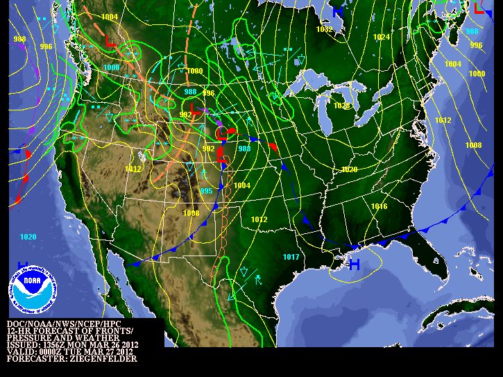
After a short period of warm weather over the past few weeks, it's time to head back to reality. Our first significant storm system of the year will roll through the southern part of Manitoba tonight and throughout tomorrow. This system will follow the cool and seasonable weather we have experienced over the past few days. Let's hope you are starting to get used to what spring really feels like in Southern Manitoba.

NOAA 12Z Wx Map
A strong southeasterly wind will continue to blow out ahead of the low pressure system throughout the rest of the day today. Winds are forecast to be in the range of 40 to 60km/h across the Red River Valley. Later this afternoon spotty showers as well as the odd thunderstorm may develop in general rainfall amounts will be insignificant (small) with only a couple millimetres expected.


This storm system will really get going tonight and into tomorrow morning as strong to severe thunderstorms are expected to develop in the Dakota's. These thunderstorms will be initiated by a potent area of lift asscosiated with the low pressure system. Also a powerful low-level jet stream will provide a 2nd source of lifting and a strong moisture inflow. The result of the LLJ tonight will be the fast movement of air into the Northern Plains and Parts of Southern Manitoba. That movement of warmer and moist air into our area including the Red River Valley will provide support for some strong storms tonight. The possibility for severe thunderstorms definitely exists in portions of North Dakota. It is unlikely we will see any severe storms in Southern portions of the province, although a few stronger storms may sneak across the border. Some with the potential for hail and strong wind gusts, nothing even close to what we experience in our summer months.

The storms that form tonight in North Dakota will eventually move into southern manitoba during the overnight hours, regardless of their strength. Any Storms that travel up from the south will mainly produce heavy rainfall. Accumulations will be in the 5 to 10mm range, although higher in areas where thunderstorms pass by.
Most of the precipitation will be over and done with in Winnipeg and the Red river Valley by Morning, with a risk for storms. Mainly cloudy conditions will persist during the day tomorrow. However, people who live in southwestern Manitoba wont be quite as lucky. Rain will change over to flurries by Tuesday night. The bulk of the snowfall will occur to the north such as riding mountain areas, with general amounts ranging from between 5 to 10 cm. Higher amounts can be expected due to regional upsloping.
Storm total rainfall amounts in Southern Manitoba will vary from place to place. Some estimates are listed below:
- Winnipeg: 10 to 15mm
- Steinbach: 10 to 20mm
- Brandon: 10 to 20mm
- Portage la Prairie: 10 to 15mm


