Showing posts with label Snow. Show all posts

Friday, April 6, 2012

Springtime Storm System to bring some Cooler Weather to the Province this weekend

An area of low pressure tracking through Western and Central areas of the province will bring wet weather, cooler temperatures and windy conditions to most of southern Manitoba. Although we have one more day of nice weather to spare. Get out there and enjoy it!
 Current Temperatures as of 3pm CDT

Conditions will be fairly typical across the southern Part of the Province for the rest of the day today with forecast conditions ranging from sunny skies to possible thunderstorms. Temperatures will continue to remain in the 20C range, before they cool throughout the evening to end up with overnight lows in the single digits. The winds will also be strong out of the south at 40km/h gusting to 60 km/h at times. It is another amazing end to a beautiful week with regards to the above normal temperatures.
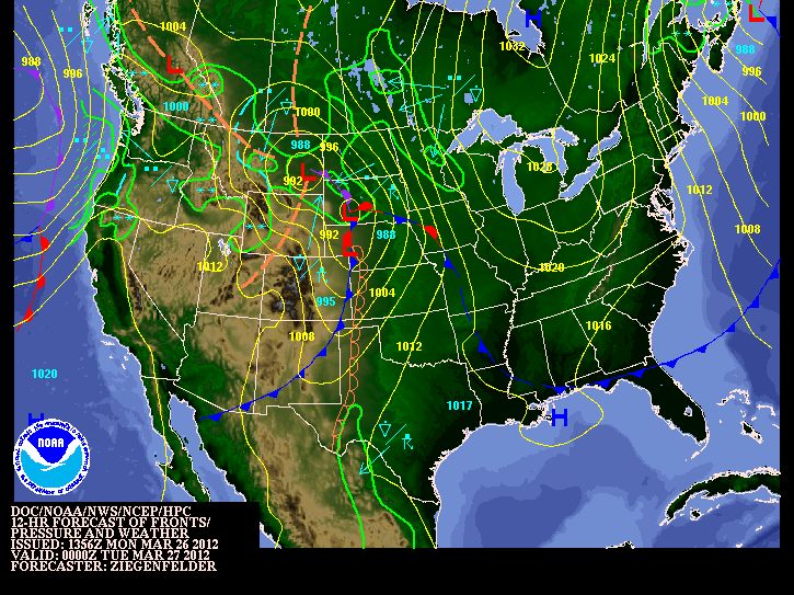
NOAA HPC Weather Map for Tonight at 06Z

Tonight an area of low pressure will move out of Southeast Saskatchewan and will move through the parklands of Manitoba into the interlake. Featured with this low is a very powerful 40kt LLJ, Some Moderate Levels of Moisture and Moderate levels of CAPE, combine them together it will allow for some potential for showers and even areas of elevated convection to occur overnight in some southern sections. This is what we call nocturnal thunderstorms as they occur during the overnight. The main focus for storms tonight will be in Western North Dakota, as some may form in that region and lift northward into Parts of Southern Manitoba as the low travels to the NE. The cold front will go through the southern part of the province Saturday morning, bringing a chance of showers and the odd rumble of thunder or two; indications are that there will be a greater chance for rainfall in central/eastern southern Manitoba then in SW MB. After the passage of the cold front expect mainly sunny conditions with a chance for off and on showers, along with for some strong westerly winds.
Total accumulated precipitation via 48hrs

The wrap-around precipitation will begin to move into the Red River valley on Saturday night, with colder air diving to the south on the backside of the low. Current indications are that most of the precipitation will fall as snow and that the northern regions of the RRV has a higher chance of seeing flurries than the southern half. The low will continue to lift to the NE through the day on Sunday, pulling the wrap- around circulation northwards with it and out of the northern Red River valley. Most areas in the red river valley will likely see a tiny bit of snow on Sunday (about a trace), however the only areas that might accumulate a cm or two would be north of Winnipeg.

Overall we definitely are being spared with this system as the larger amounts of precipitation are forecast to fall from the Moose Jaw/Regina,Saskatchewan region along a line NE to Swan River and the Pas. The GEM-GLB is currently showing up to 75mm of precipitation, which if that were to fall as snow it would likely end up to 2 feet of snow.
Anyone who is planning to travel Saskatchewan today or on the weekend should adjust accordingly to weather conditions, and make alternate routes when necessary.

After that things will clear out for the start of the week and our temperatures will slowly rebound into the low teens by midweek, and the trend will likely continue into mid April.


Monday, March 26, 2012

First Major Storm System of the year!

After a short period of warm weather over the past few weeks, it's time to head back to reality. Our first significant storm system of the year will roll through the southern part of Manitoba tonight and throughout tomorrow. This system will follow the cool and seasonable weather we have experienced over the past few days. Let's hope you are starting to get used to what spring really feels like in Southern Manitoba.
                                                     
                                                       NOAA 12Z Wx Map
A strong southeasterly wind will continue to blow out ahead of the low pressure system throughout the rest of the day today. Winds are forecast to be in the range of 40 to 60km/h across the Red River Valley. Later this afternoon spotty showers as well as the odd thunderstorm may develop in general rainfall amounts will be insignificant (small) with only a couple millimetres expected.


This storm system will really get going tonight and into tomorrow morning as strong to severe thunderstorms are expected to develop in the Dakota's. These thunderstorms will be initiated by a potent area of lift asscosiated with the low pressure system. Also a powerful low-level jet stream will provide a 2nd source of lifting and a strong moisture inflow. The result of the LLJ tonight will be the fast movement of air into the Northern Plains and Parts of Southern Manitoba. That movement of warmer and moist air into our area including the Red River Valley will provide support for some strong storms tonight. The possibility for severe thunderstorms definitely exists in portions of North Dakota. It is unlikely we will see any severe storms in Southern portions of the province, although a few stronger storms may sneak across the border. Some with the potential for hail and strong wind gusts, nothing even close to what we experience in our summer months.


The storms that form tonight in North Dakota will eventually move into southern manitoba during the overnight hours, regardless of their strength. Any Storms that travel up from the south will mainly produce heavy rainfall. Accumulations will be in the 5 to 10mm range, although higher in areas where thunderstorms pass by. 

Most of the precipitation will be over and done with in Winnipeg and the Red river Valley by Morning, with a risk for storms. Mainly cloudy conditions will persist during the day tomorrow. However, people who live in southwestern Manitoba wont be quite as lucky. Rain will change over to flurries by Tuesday night. The bulk of the snowfall will occur to the north such as riding mountain areas, with general amounts ranging from between 5 to 10 cm. Higher amounts can be expected due to regional upsloping.


Storm total rainfall amounts in Southern Manitoba will vary from place to place. Some estimates are listed below:

  • Winnipeg: 10 to 15mm
  • Steinbach: 10 to 20mm
  • Brandon: 10 to 20mm
  • Portage la Prairie: 10 to 15mm
Overall weather conditions will improve later in the week with above normal temperatures expected.


Wednesday, February 22, 2012

Colorado Low Brings the Most Significant Snowfall of the Season

(Radar Image from EC Historical Radar at 10 pm the 20th of February)

After a long stretch of dry weather, the snow drought was finally broken on Monday after a developing Colorado low moved into SE Manitoba bringing with it the most significant snowfall of the year. Although the area of precipitation was narrow it did bring a lot of snow to areas east of Winnipeg, we were unfortunately lucky and received very low amounts compared to the SE RRV. Areas like Lac Du Bonnet, Steinbach and the Whiteshell were affected by this storm system resulting in several municipal school closures on Tuesday, several car accidents due to slippery ice covered;snow covered roads in SE MB and around Winnipeg. As well power outages in SE MB because of all the heavy snow on power lines. Why didn't we pick up any snow? according to A Weather Moment Blog It is something we call a deformation zone (click  a weather moment blog for more info). It was a definitly significant snowfall, but how much did we get?
The Regions of Winnipeg: St.Boniface 6.25cm, Airport 2cm, Charleswood 4cm, Downtown 3cm, East 9cm, and River Park South 8.5cm. East RRV: Beausejour 15cm, Landmark 14cm, Indian Bay 17cm, Oakbank 13.4cm, Pinawa 15.4 cm, Steinbach 21cm, and in Woodridge a total of 20cm was received. Data from A Weather Moment blog. Overall over the next few days expect a few flurries and clearing conditions on Thursday with a return to seasonal weather.

Head To: Weather moment blog and Northern Plains Storm Summary for details on the Snowfall totals

Featured Post

Showers and Thunderstorms likely tonight

 Southern Manitoba will be likely getting severe weather this evening and overnight as another round of severe storms is possible, thanks to...